Mammals
- White-tailed deer
- Raccoons & opossums
- River otters, beavers & muskrats
- Mink
- Gray & red foxes
- Gray & fox squirrels
- Swamp rabbits & cottontails
- Black bears & Louisiana black bears
A living waterway. A lasting promise.
Along the quiet bends of Bayou Bartholomew, a treasured piece of the Arkansas Delta is being protected—and opened to the public. Three landings, nine miles of water, and a corridor of trail through one of the most biologically diverse streams in North America.
01 · A place that stayed with him
For Bill Jones, Bayou Bartholomew was the backdrop to childhood— a place of water, woods, freedom, and discovery that never really left him.
It started when he was eight years old. His family had a fork on the bayou; there is still a sign on the flood trail that reads Bill’s Fork. He swam in it, fished in it, and spent entire summers along its banks—right near the Saracen Bayou landing, which is where this project now begins.
Years later, Bill purchased land along the bayou and chose to protect it. What began as a deeply personal connection is becoming a charitable conservation effort: caring for the habitat, honoring the character of the place, and creating thoughtful ways for future generations to know it too.
This is one protected place along a much larger living system—a promise made locally, with meaning that travels far downstream.
02 · Meet the waterway
Bayou Bartholomew follows an ancient channel of the Arkansas River, winding through cypress-tupelo wetlands, oxbows, and bottomland hardwood forest. It is often described as the longest bayou in the world—and its slow-moving course connects two states and countless lives.
The Arkansas River shifts course and leaves its old channel behind. The bayou is what remains.
Named for a member of French explorer Henri Joutel’s expedition through the region.
A steamboat highway carrying cotton and timber out of the Delta, until the railroads take the trade away.
One of the two most biologically diverse streams in North America, running from Pine Bluff to the Ouachita River in Louisiana.
“One of the few largely unaltered natural streams remaining in the Mississippi Valley.”
— U.S. Fish & Wildlife ServiceThe story on film
Hear the story behind the project and the effort to protect this remarkable landscape near Pine Bluff, Arkansas.
03 · A corridor of uncommon life
Cypress swamps, bottomland hardwoods, and wetlands make this one of the richest wildlife habitats in Arkansas. Fish move below the surface; mussels filter the current; turtles bask on fallen timber; songbirds and waterfowl follow the water through the seasons.
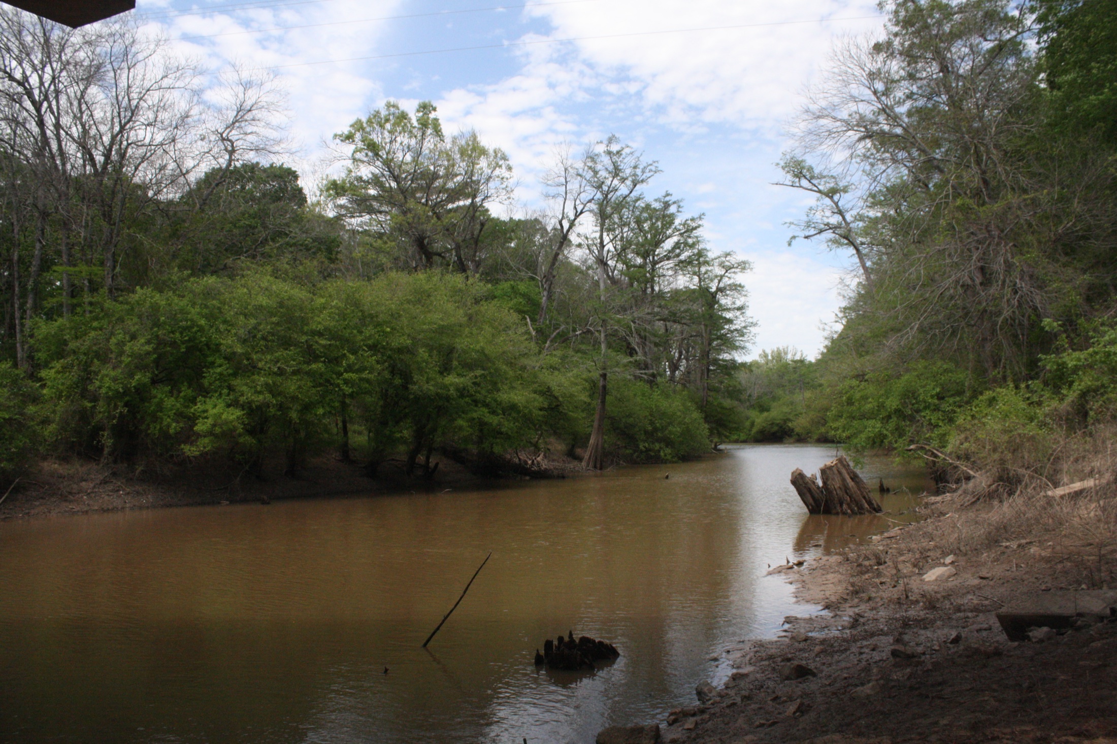
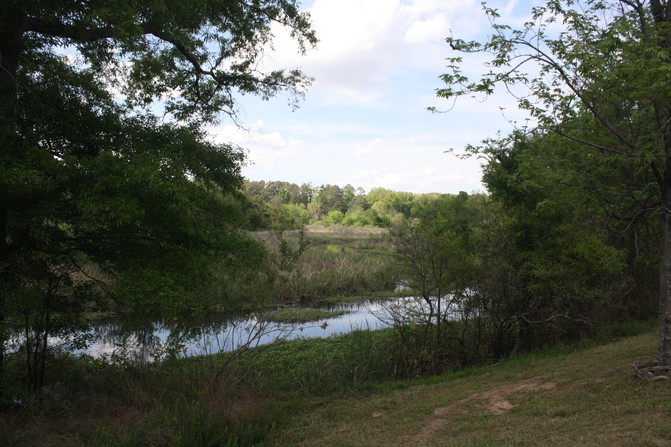
Alongside at least 35 mussel species, this richness makes Bayou Bartholomew an exceptional stream system by any measure.
Four and a half miles
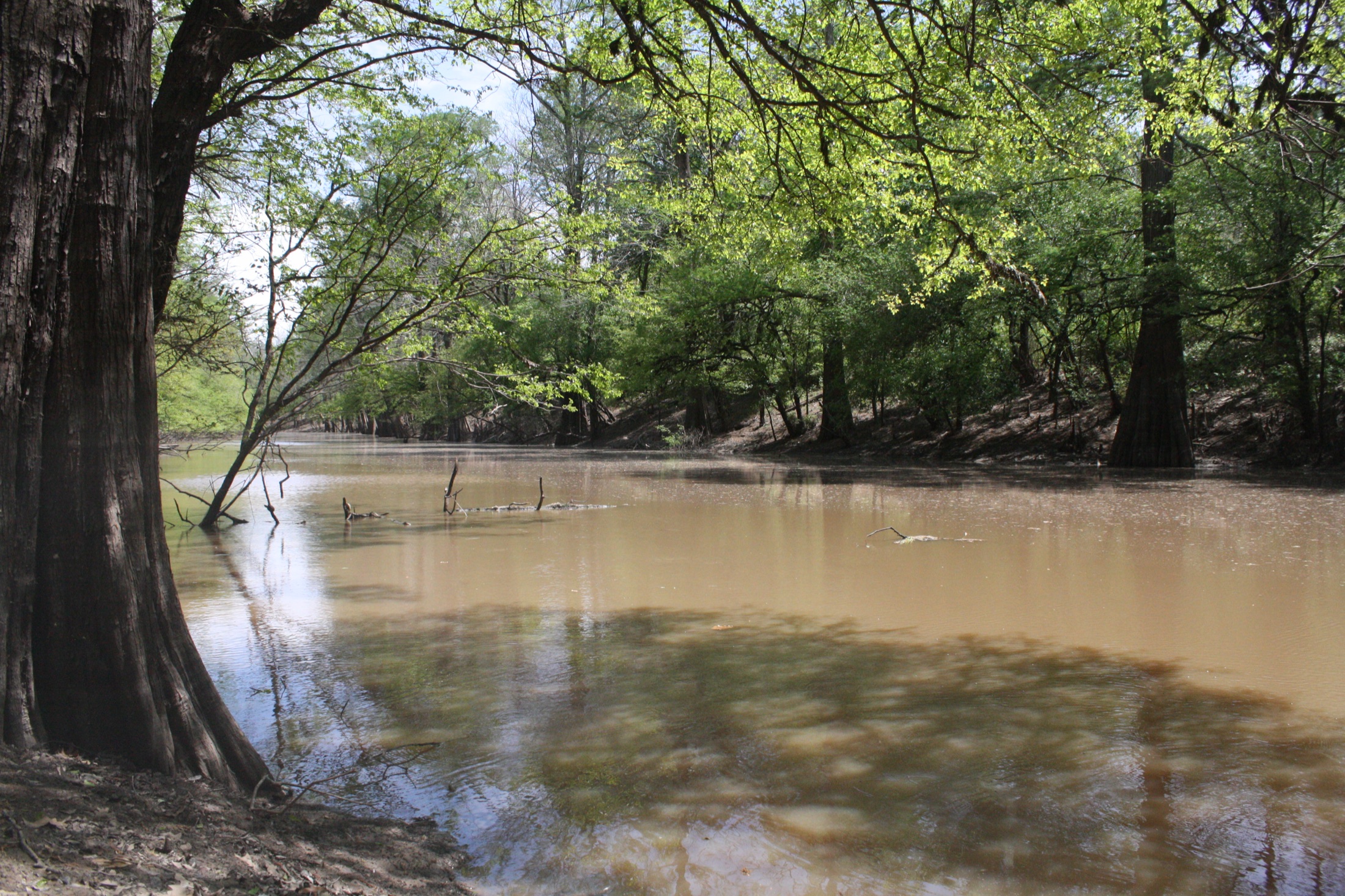
In a single stretch the corridor moves from bottomland hardwood to marsh. You are narrow and completely shaded from Saracen all the way to Hazel Street—and then it opens, and there are ducks and wood ducks and animals everywhere. It feels like a different place entirely. Egret rookeries line the bayou. At any moment on this float, in all that quiet, you are about twenty minutes from downtown.
04 · The project
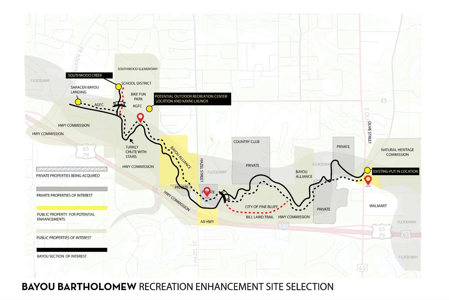
Three public landings, a connected trail corridor, and nine miles of open water through the heart of Pine Bluff. Some of it is finished. The remaining elements are planned as future phases.
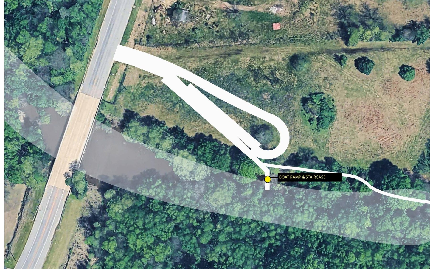
Northern anchor
Where the project begins, just off Old Warren Road. A boat ramp and staircase carry paddlers down to the water. Southwood Creek, the Turkey Chute with stairs, and Bill's Fork are all within a short walk.
Landing and road access completed
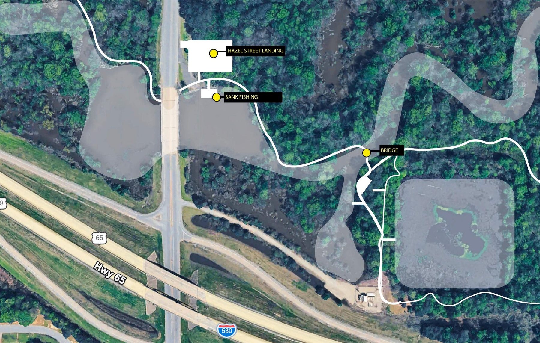
Mid-corridor
The middle of the corridor, with bank fishing along the water and a new steel and concrete bridge carrying the trail across the bayou. The channel is already open from Old Warren Road to here.
Bayou opened · bridge proposed
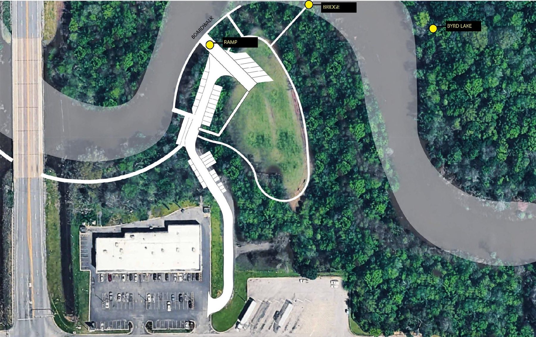
Southern end
A boardwalk, ramp and bridge open onto Byrd Lake at the southern end. Playground equipment and the boardwalk materials are the largest remaining pieces here.
Proposed
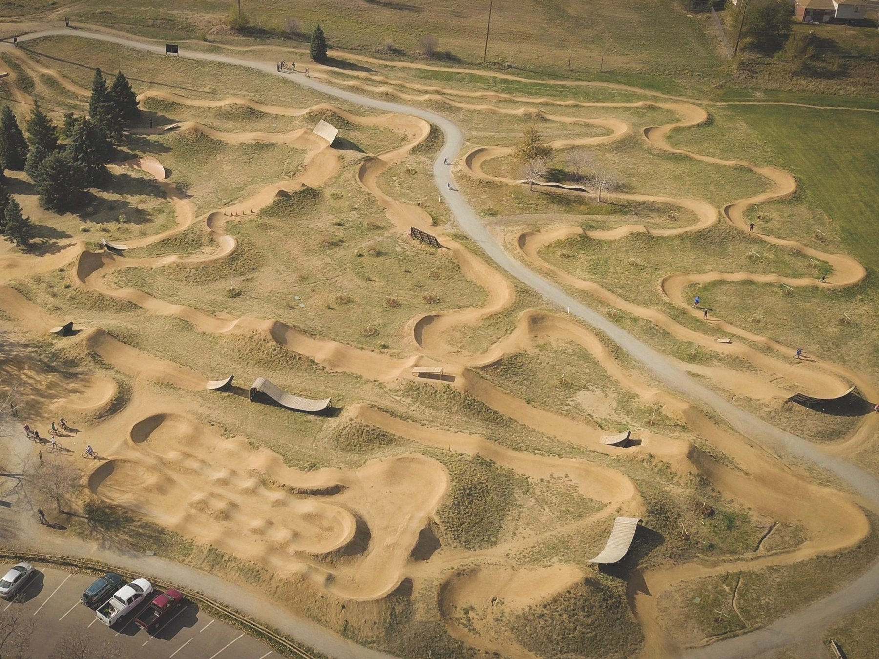
Enjoyment
A dirt skills park with pump tracks and jump lines near the Saracen end of the corridor, beside Southwood Elementary and the school district property.
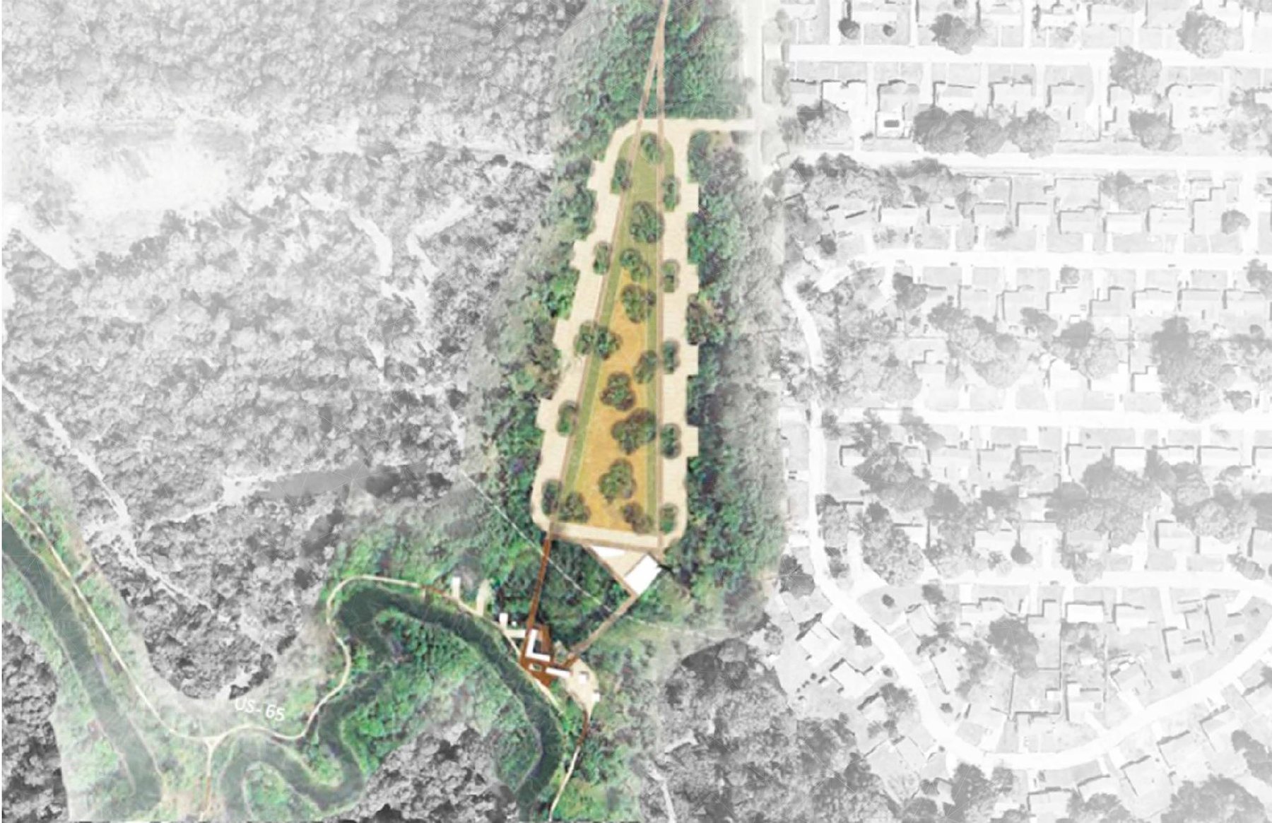
Centerpiece
An outdoor recreation and nature center with a kayak launch, sitting between the Bike Fun Park and the water. The location is identified, and the building remains a proposal.
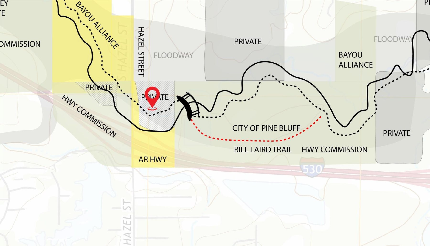
Trail connection
The bike trail crosses the new bridge, circles back and runs to Olive Street, tying into the Bill Laird Trail and the Hampstead Inn — and into the commercial district beyond it.
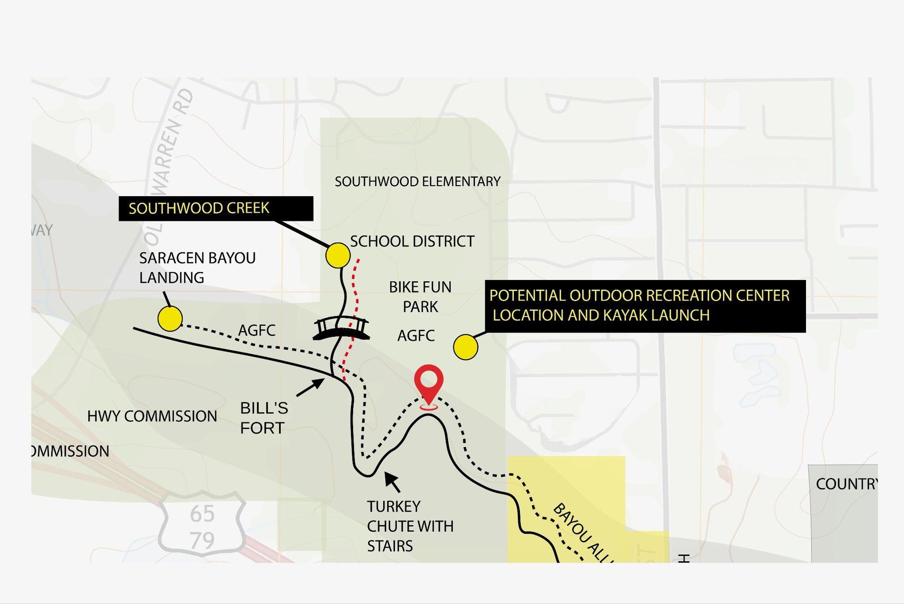
From Ohio Street the route carries on into the Byrd Lake Natural Area, with wolf tracks painted in the street to guide riders all the way to the casino. Wooden bridges cross the wet ground along the way, and there is a place overlooking Cypress Lake quiet enough to hold a wedding.
Electric motors and paddle craft only. Excellent fishing waters, beautiful biking trails, and a significant economic lift for Pine Bluff and Southeast Arkansas.
In partnership with
05 · Experience it gently
When the corridor is complete it will hold a nine-mile float, 4.5 miles of bank fishing, nine to ten miles of biking trail, and some of the best bird watching in the Delta—all of it electric motor or paddle only, so the water stays quiet.
For current public paddling, Arkansas Game & Fish Commission maintains a 10-mile Bayou Bartholomew Water Trail with three designated access points. Conditions change: use official access, respect private land, and review current safety guidance before setting out.
Explore the public water trail06 · The work of keeping wild places wild
Protection here is not a single project. It is a patient practice of listening to the land, responding to what the water needs, and making room for nature to keep doing what it has done for millennia.
Care for banks, reduce disturbance, and support a healthier current.
Keep woods, wetlands, and the bayou connected as one living system.
Invite discovery in ways that respect wildlife, neighbors, and place.
07 · Get involved
Trail work days, cleanups, planting, bird counts, an afternoon with a chainsaw or a tractor—there is a place here for whatever you have to give. Tell us how you would like to help and we will be in touch when the next work day is set.
Email us and we will put you on the list.
info@bayoubartholomew.comTell us your name, the best number to reach you, and what kind of work you would enjoy—trail days, cleanups, planting, events, bird counts, or equipment and skilled trades.
08 · Support the project
If you would like to support the continuing work along Bayou Bartholomew, use the giving option below.
Bayou Bartholomew